
OPERATIONAL
SCENARIOS
Representative operational scenarios illustrating how Norns and Mimir apply across defense and intelligence missions. Illustrative — not client records.
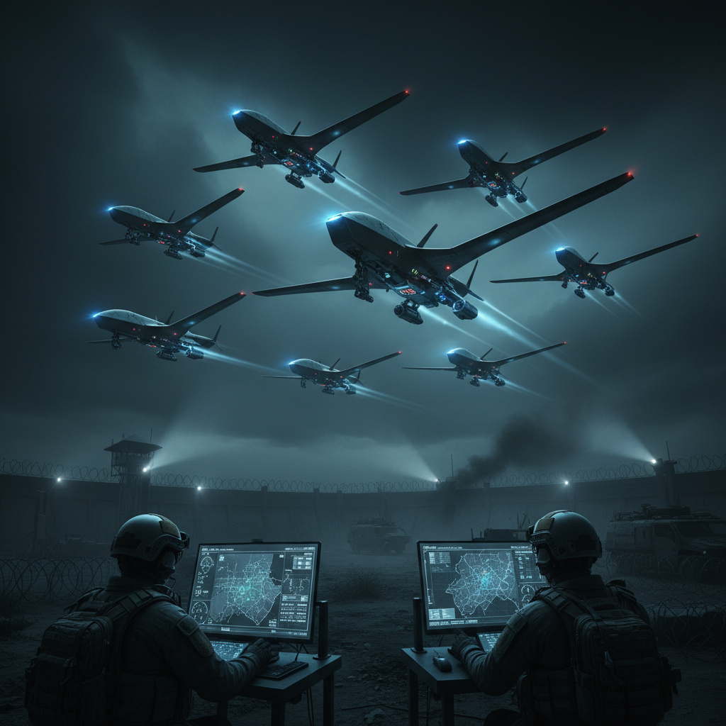
FORWARD BASE PERIMETER DESIGN
A military engineering unit needed to secure a newly established forward operating base on difficult terrain — before any sensors were installed. Using the Norns Site Simulator, the team modeled sensor and radar placement against terrain, weather, and line-of-sight constraints, identified coverage blind spots in virtual space, and validated the full perimeter layout. Once deployed, DAS fiber and EO/IR sensors fed a single command picture, with drone verification dispatched only under operator approval.
FORWARD BASE PERIMETER DESIGN
A military engineering unit needed to secure a newly established forward operating base on difficult terrain — before any sensors were installed. Using the Norns Site Simulator, the team modeled sensor and radar placement against terrain, weather, and line-of-sight constraints, identified coverage blind spots in virtual space, and validated the full perimeter layout. Once deployed, DAS fiber and EO/IR sensors fed a single command picture, with drone verification dispatched only under operator approval.

RADICALIZATION CELL IDENTIFICATION
Security services identified a rise in extremist rhetoric in closed online communities. Mimir OSINT + behavioral AI identified the group, closed-channel monitoring confirmed coordination, Crypto AML revealed foreign financing through a mixer.
RADICALIZATION CELL IDENTIFICATION
Security services identified a rise in extremist rhetoric in closed online communities. Mimir OSINT + behavioral AI identified the group, closed-channel monitoring confirmed coordination, Crypto AML revealed foreign financing through a mixer.

CRITICAL INFRASTRUCTURE HARDENING
Norns deployed across a multinational data center campus. Optical fiber DAS grid combined with drone verification significantly reduced false alarms, achieving high operational uptime with full forensic audit chain.
CRITICAL INFRASTRUCTURE HARDENING
Norns deployed across a multinational data center campus. Optical fiber DAS grid combined with drone verification significantly reduced false alarms, achieving high operational uptime with full forensic audit chain.

DARKNET TRADE NETWORK DISRUPTION
Dark Web Intelligence module identified a seller active across multiple markets. Reputation analysis, behavioral timing patterns, and Crypto AML linked wallets to centralized exchanges — forensic output delivered to investigators.
DARKNET TRADE NETWORK DISRUPTION
Dark Web Intelligence module identified a seller active across multiple markets. Reputation analysis, behavioral timing patterns, and Crypto AML linked wallets to centralized exchanges — forensic output delivered to investigators.
NATIONAL GRID SUBSTATION PROTECTION
A national transmission operator hardened a remote 400 kV substation against intrusion and sabotage. Norns fused DAS fiber along the perimeter fence, thermal cameras across the switchyard, and radar on the access road into a single Fusion COP view. The Site Simulator mapped sensor coverage against the substation’s metallic structures before any hardware was installed, eliminating RF blind zones that a legacy layout would have missed. Multi-sensor cross-validation cut nuisance alarms from wildlife and weather by an order of magnitude, while every fence approach queued a verification drone under explicit operator approval. The full event log — signed and timestamped — became the operator’s post-incident forensic record and regulator-ready evidence.
NATIONAL GRID SUBSTATION PROTECTION
A national transmission operator hardened a remote 400 kV substation against intrusion and sabotage. Norns fused DAS fiber along the perimeter fence, thermal cameras across the switchyard, and radar on the access road into a single Fusion COP view. The Site Simulator mapped sensor coverage against the substation’s metallic structures before any hardware was installed, eliminating RF blind zones that a legacy layout would have missed. Multi-sensor cross-validation cut nuisance alarms from wildlife and weather by an order of magnitude, while every fence approach queued a verification drone under explicit operator approval. The full event log — signed and timestamped — became the operator’s post-incident forensic record and regulator-ready evidence.
PORT & MARITIME BORDER CORRIDOR
A port authority deployed Norns across a container terminal and its maritime approaches. EO/IR cameras, coastal radar, the AIS feed, and underwater acoustic sensors were fused into one common operating picture, so a small craft entering a restricted anchorage appeared as a correlated track alongside terminal activity rather than an isolated blip. Operators triaged simultaneous surface and quayside events from a single screen and authorized verification drone launches only for confirmed tracks. Fusion COP replaced four separate legacy dashboards, collapsing operator load during peak traffic without losing coverage and keeping every authorization decision on the signed audit chain.
PORT & MARITIME BORDER CORRIDOR
A port authority deployed Norns across a container terminal and its maritime approaches. EO/IR cameras, coastal radar, the AIS feed, and underwater acoustic sensors were fused into one common operating picture, so a small craft entering a restricted anchorage appeared as a correlated track alongside terminal activity rather than an isolated blip. Operators triaged simultaneous surface and quayside events from a single screen and authorized verification drone launches only for confirmed tracks. Fusion COP replaced four separate legacy dashboards, collapsing operator load during peak traffic without losing coverage and keeping every authorization decision on the signed audit chain.
CROSS-BORDER PIPELINE MONITORING
An operator secured hundreds of kilometers of cross-border pipeline against third-party interference and tapping attempts. DAS converted the pipeline itself into a continuous acoustic sensor, detecting digging, vehicle movement, and manual cutting along the entire route without separate point sensors. Edge nodes classified events locally on constrained rural links, forwarding only confirmed threats to the Fusion COP and keeping bandwidth tight where connectivity is intermittent. Each interference event carried its location, confidence, and source list, so patrol teams were dispatched to precise coordinates rather than vague segments — and every classification and operator decision was recorded for regulatory review.
CROSS-BORDER PIPELINE MONITORING
An operator secured hundreds of kilometers of cross-border pipeline against third-party interference and tapping attempts. DAS converted the pipeline itself into a continuous acoustic sensor, detecting digging, vehicle movement, and manual cutting along the entire route without separate point sensors. Edge nodes classified events locally on constrained rural links, forwarding only confirmed threats to the Fusion COP and keeping bandwidth tight where connectivity is intermittent. Each interference event carried its location, confidence, and source list, so patrol teams were dispatched to precise coordinates rather than vague segments — and every classification and operator decision was recorded for regulatory review.
URBAN RAIL & TRANSIT CORRIDOR
A transit operator extended Norns across an elevated rail corridor running through dense urban fabric. CCTV, acoustic sensors, and platform-facing thermal were fused to separate genuine intrusion events from passenger movement and ambient city noise that legacy systems could not distinguish. Fusion COP correlated a track-side intrusion with an adjacent station alert, letting a single operator resolve what previously required three separate control rooms. Human-gated drone verification inspected inaccessible elevated sections without dispatching ground crews into an active right-of-way, and every action was signed for post-incident review.
URBAN RAIL & TRANSIT CORRIDOR
A transit operator extended Norns across an elevated rail corridor running through dense urban fabric. CCTV, acoustic sensors, and platform-facing thermal were fused to separate genuine intrusion events from passenger movement and ambient city noise that legacy systems could not distinguish. Fusion COP correlated a track-side intrusion with an adjacent station alert, letting a single operator resolve what previously required three separate control rooms. Human-gated drone verification inspected inaccessible elevated sections without dispatching ground crews into an active right-of-way, and every action was signed for post-incident review.
HYDROELECTRIC DAM & RESERVOIR PERIMETER
A national power authority secured a hydroelectric dam complex — spillway, turbine hall approach, and a 12 km reservoir shoreline — against sabotage, unauthorized diving, and downstream tampering. The Site Simulator first modeled the terrain, water reflection, and seasonal fog patterns that defeat standard cameras, repositioning thermal and radar units to eliminate blind zones over the water surface. DAS fiber was laid along the dam crest and access road, while underwater acoustic sensors monitored the intake and spillway approaches. All feeds fused into a single Fusion COP: a swimmer entering the restricted reservoir appeared as a correlated acoustic-plus-radar track with a confidence score, not an isolated sonar blip. Operators triaged surface and underwater events from one screen, authorized verification drone overflights only for confirmed contacts, and every detection, classification, and approval was written to the signed audit chain for regulatory inspection.
HYDROELECTRIC DAM & RESERVOIR PERIMETER
A national power authority secured a hydroelectric dam complex — spillway, turbine hall approach, and a 12 km reservoir shoreline — against sabotage, unauthorized diving, and downstream tampering. The Site Simulator first modeled the terrain, water reflection, and seasonal fog patterns that defeat standard cameras, repositioning thermal and radar units to eliminate blind zones over the water surface. DAS fiber was laid along the dam crest and access road, while underwater acoustic sensors monitored the intake and spillway approaches. All feeds fused into a single Fusion COP: a swimmer entering the restricted reservoir appeared as a correlated acoustic-plus-radar track with a confidence score, not an isolated sonar blip. Operators triaged surface and underwater events from one screen, authorized verification drone overflights only for confirmed contacts, and every detection, classification, and approval was written to the signed audit chain for regulatory inspection.
OIL REFINERY & PETROCHEMICAL COMPLEX
A refinery operator deployed Norns across a high-risk petrochemical site where flame, heat, and ATEX zoning rule out conventional electronics across much of the perimeter. The Site Simulator mapped hazardous zones, vapor dispersion paths, and camera-occluding tank farms before procurement, guiding placement of explosion-rated thermal and radar units onto safe gantries. DAS fiber along the inner boundary fence detected cutting and climbing without powered sensors in the hot zone, while EO/IR cameras on the perimeter road covered vehicle and personnel screening at the controlled entry. Fusion COP correlated an after-hours fence vibration with a thermal silhouette and a gate-reader anomaly into one validated track, letting a single control-room operator confirm and dispatch a verification drone rather than escalate three separate alarms. Nuisance alarms from flares, steam, and rotating equipment were filtered at the edge by multi-sensor cross-validation, and the signed event log supported both incident review and insurance reporting.
OIL REFINERY & PETROCHEMICAL COMPLEX
A refinery operator deployed Norns across a high-risk petrochemical site where flame, heat, and ATEX zoning rule out conventional electronics across much of the perimeter. The Site Simulator mapped hazardous zones, vapor dispersion paths, and camera-occluding tank farms before procurement, guiding placement of explosion-rated thermal and radar units onto safe gantries. DAS fiber along the inner boundary fence detected cutting and climbing without powered sensors in the hot zone, while EO/IR cameras on the perimeter road covered vehicle and personnel screening at the controlled entry. Fusion COP correlated an after-hours fence vibration with a thermal silhouette and a gate-reader anomaly into one validated track, letting a single control-room operator confirm and dispatch a verification drone rather than escalate three separate alarms. Nuisance alarms from flares, steam, and rotating equipment were filtered at the edge by multi-sensor cross-validation, and the signed event log supported both incident review and insurance reporting.
INTERNATIONAL AIRPORT PERIMETER & APPROACH
An airport operator extended Norns across a 22 km perimeter bordering open fields, a motorway, and a residential zone — a constant source of wildlife and trespass alarms under the legacy VMS. The Site Simulator layered sensor coverage against flight paths, runway lighting glare, and bird-migration corridors, then tuned per-segment thresholds so fauna no longer triggered operator cues. DAS fiber, perimeter thermal, and runway-facing radar fused into a Fusion COP shared by security operations and the airside duty manager, replacing the previous split between CCTV and airside radio. A perimeter breach now appears as a classified track with location, speed, and sensor agreement, and human-gated drone verification inspects the breach location without sending a vehicle onto an active movement area. Every dispatch and gate decision is signed for the airport’s regulator and insurance audit.
INTERNATIONAL AIRPORT PERIMETER & APPROACH
An airport operator extended Norns across a 22 km perimeter bordering open fields, a motorway, and a residential zone — a constant source of wildlife and trespass alarms under the legacy VMS. The Site Simulator layered sensor coverage against flight paths, runway lighting glare, and bird-migration corridors, then tuned per-segment thresholds so fauna no longer triggered operator cues. DAS fiber, perimeter thermal, and runway-facing radar fused into a Fusion COP shared by security operations and the airside duty manager, replacing the previous split between CCTV and airside radio. A perimeter breach now appears as a classified track with location, speed, and sensor agreement, and human-gated drone verification inspects the breach location without sending a vehicle onto an active movement area. Every dispatch and gate decision is signed for the airport’s regulator and insurance audit.
NATIONAL BORDER CORRIDOR SURVEILLANCE
A border agency piloted Norns along a remote, forested cross-border corridor used for smuggling and illegal crossing. The Site Simulator modeled the canopy, slope, and seasonal vegetation that defeat fixed cameras, guiding a hybrid layout of DAS fiber along existing service tracks, solar-powered edge nodes on ridgelines, and mobile thermal-radar units repositioned seasonally. Edge AI classified footsteps, vehicles, and cutting locally on bandwidth-starved links, forwarding only confirmed tracks to the Fusion COP at the regional command center. A nighttime approach appeared as a single fused track fusing DAS vibration, thermal silhouette, and edge classification, with GPS coordinates precise enough to vector a patrol directly rather than search a vague sector. Human-gated drone verification scouted the approach before ground contact, and the full audit chain — sensor reading, classification, approval, dispatch, outcome — was preserved for judicial review of each interdiction.
NATIONAL BORDER CORRIDOR SURVEILLANCE
A border agency piloted Norns along a remote, forested cross-border corridor used for smuggling and illegal crossing. The Site Simulator modeled the canopy, slope, and seasonal vegetation that defeat fixed cameras, guiding a hybrid layout of DAS fiber along existing service tracks, solar-powered edge nodes on ridgelines, and mobile thermal-radar units repositioned seasonally. Edge AI classified footsteps, vehicles, and cutting locally on bandwidth-starved links, forwarding only confirmed tracks to the Fusion COP at the regional command center. A nighttime approach appeared as a single fused track fusing DAS vibration, thermal silhouette, and edge classification, with GPS coordinates precise enough to vector a patrol directly rather than search a vague sector. Human-gated drone verification scouted the approach before ground contact, and the full audit chain — sensor reading, classification, approval, dispatch, outcome — was preserved for judicial review of each interdiction.